Cover Photo © Lautaro Rodriguez Astorino
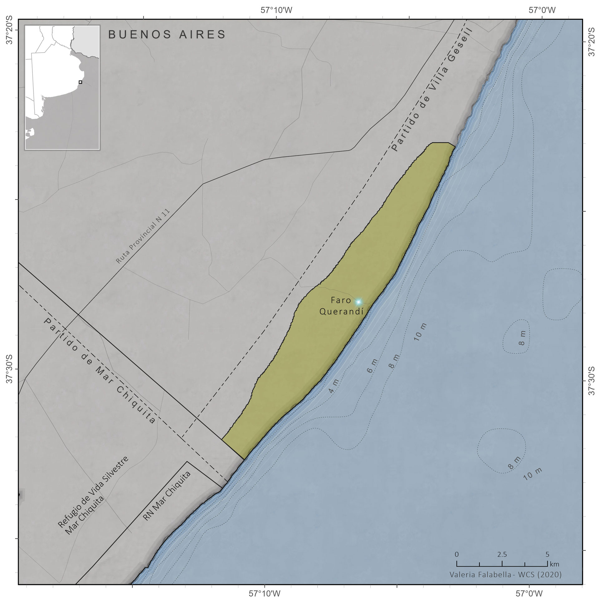
Geographic Location
Province
Buenos Aires
Coordinates:
-37.22° Latitude S
-56.94° Longitude W
Size and Limits
Total Area:
Marine Area:
Continental Area:
NOTES ON SURFACE ESTIMATION
Surface area estimated based on the calculation of the area of the polygon represented on the map (ArcGIS PRO) with an Albers Equivalent Conic projection to preserve surface area calculations.
57.57 km2 (gesell.gob.ar)
55.75 km2 (SIB)
Legal Aspects
Jurisdiction
Provincial
Year of Creation
1987 / 1996
Creation Legislation
Municipal Ordinance 1487
Provincial Law 010420/87
Provincial jurisdiction with municipal administración (SIB)
IUCN Management Category
Marine
–
Continental Area
V Paisaje Protegido
Eco-regions represented
Marine
–
Land
Pampa Ecoregion
Conservation Objectives
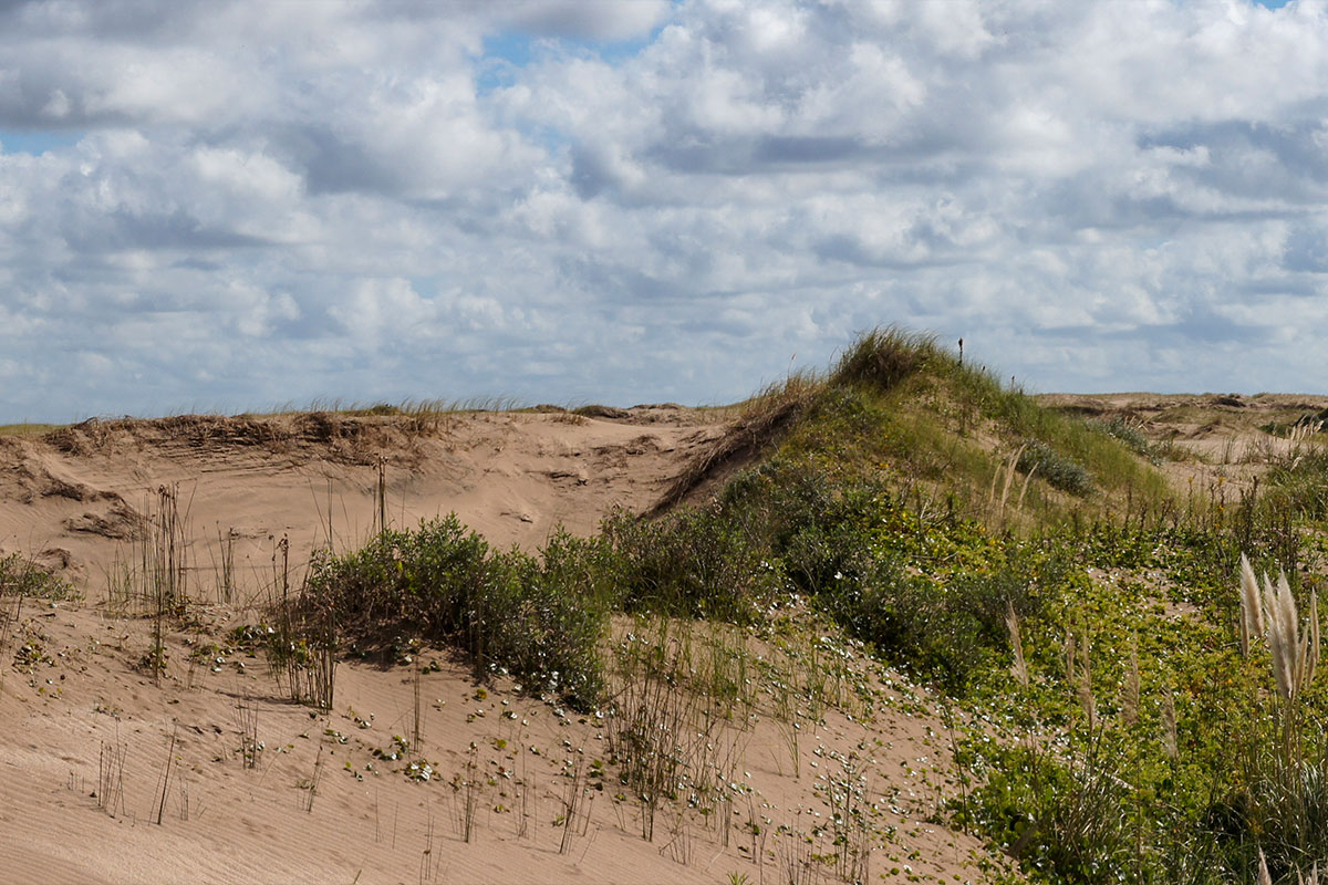
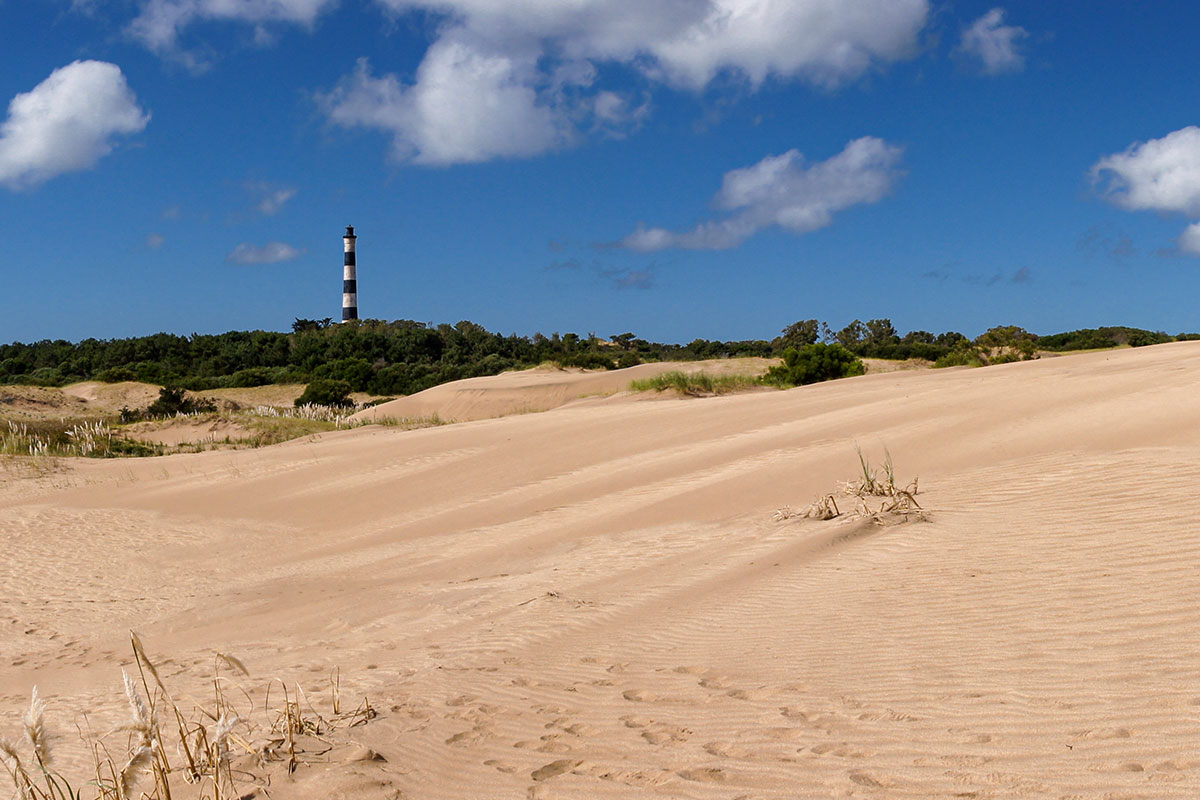
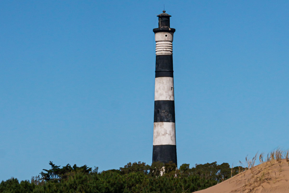
The Faro Querandí Municipal Natural Reserve was created with the purpose of protecting biodiversity and the coastal dune ecosystem in its natural state, as well as its flora and fauna, in environments of dunes, wetlands, grasslands and beaches. It is a nesting site for coastal species such as the Oystercatcher.
Management
Management effectiveness and evaluation year
29 % -METT Evaluation (2014)
Official Web site:
Sources consulted: Calculations of the Buenos Aires Province Protected Areas Agency